Menu
Spots Guru Forecast
World Spot Map
World Spot Guide
Features
Pricing
Blog
🇫🇷
🇺🇸
Sign-up
Login
Travel guide Paragliding Canaries
Guide
Paragliding
Canaries
Spots
Guru
Find the
best
sessions
nearby
in 1 click.
Simple, customizable and collaborative
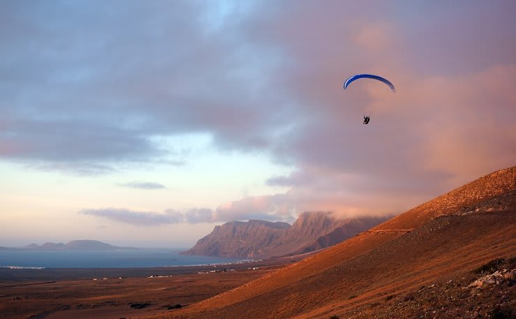
Paragliding Barranco Hondo
best Conditions
Wind Dir. :
SSE
SE
ESE
E
ENE
Wind: Mini:
0
| Maxi
25
kmh
Gust Max :
30
kmh
Description
H 657 m / medium rating 3/6 occasionally used, soaring, some xc possible. some say it is nice, others say the takeoff sucks. Direct link to www.xcontest.org flights Region: null - SpainSee flights near this point [ 41 ]Site record : 7.5 kmLink to more information : - http://www.parapentecanarias.com/zonas-de-vuelo/?lang=en DHV Details anzeigen http://www.zonasdevuelo.com/zonasvuelo.html?fz=461 Altitud máxima del despegue 720 m, con orientación Noreste, Este, Sureste Accesos: Desde Sta Cruz de T. hacia Sur por C822, 18km, Subir al pueblo de Bco. Hondo y dirigirse hacia el campo de fútbol, 20 metros antes girar a la dcha. y subir a la montaña. LocationN28°23.910' W016°22.114' Altitude660m MSL Elevation660m ALZ Wind80°-130° SportPG More info - Take off : More information on ParaglidingEarth N028° 23' 55.74" W016° 22' 07.92"© paraglidingspots.com · last update 10/2021Feedback / Correction
Popularity: 126 Views
Weather Forecast Paragliding Barranco Hondo
Map & Detailed Forecast
Where Paragliding | Barranco Hondo
All-in-one
forecasting tool
- Custom and automated forecast
- Real-time weather stations
- Spot atlas
- 16 weather models
Super Forecast
+
school Paragliding Barranco Hondo ✌️
Get the best offer
+
Add your service Here ✌️
Sites à proximité
Candeleira_Basilica
(5.4 kms)
La Barranda
(1.8 kms)
Travel guide Paragliding Canaries
Guide
Paragliding
Canaries
Closest partner
Alpyr
Closest partner
Alpyr
+
school Paragliding Barranco Hondo ✌️
Get the best offer
+
Add your service Here ✌️