Trouves les meilleures sessions à proximité en 1 clic.
simple, personnalisable et collaboratif
Conditions Optimales
Dir. vent :
WNW
W
WSW
Vent: Mini: 0| Maxi 16 mph Rafale Max : 21 mph
Description
Elevation: 1746 meters, Height Difference: 192 meters
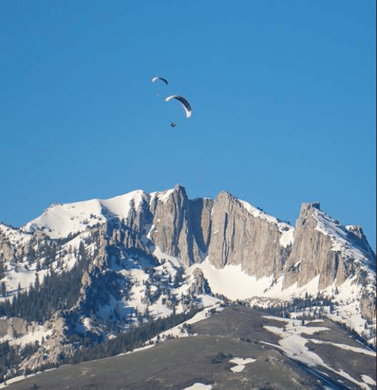
This site is regularly used for walk-and-fly activities and offers some potential for thermal soaring and small cross-country flights. However, it is not recommended due to its dangerous conditions and limited rewards.
Region: Utah, USA
Site Record: 19.3 km
If you plan to fly here, it is crucial to get away from the terrain quickly and be prepared to hike back up if you sink out. The launch requires flying close to the terrain, which is not advisable. The landing area is poor, and the site is generally considered dangerous. Despite its easy accessibility, it is known for its risks, and many pilots wait until they are highly experienced before attempting it.
There is a hazardous thermal convergence above and behind the launch area. The convergence between the 7-11 hill and Hounds Tooth is particularly notorious, with many pilots having to deploy their reserves here. The Hounds Tooth thermal is strong but turbulent, and it is advised not to enter it at a low altitude. The 7-11 peak thermal is more reliable, fed by the face of the B hill and the north and west sides, while the Hounds Tooth is fed by the surrounding terrain. The area where these thermals meet is highly turbulent, especially at lower altitudes.
This site is included in guides to raise awareness of its dangers, as it is often used by pilots flying to the Point of the Mountain. When flying here, it is best to stay out front during strong winds or fly only in light conditions.
Takeoff: This is an advanced site due to the lack of landing zones. The takeoff requires a 20-minute hike up a steep but manageable hill with a 3000-foot mountain behind it. Most pilots hike about 100 yards above the 'B' to launch, as higher areas are difficult to find open spaces for takeoff. There is another launch spot 45 minutes higher, but it is challenging to access.
For more detailed information, you can refer to the [Utah Site Guide](http://www.uhgpga.org/wp-content/uploads/2018/05/UtahSiteGuide-2013_Les_Hooper.pdf).
Popularité: 31 Vues